
Availability: Available
Shipping-Time: Usually Ships 1-3 Days
0.0 / 5
| Publisher | BPB Publications |
| ISBN-13 | 9789355513106 |
| ISBN-10 | 9355513100 |
| Binding | Paperback |
| Edition | 2023 |
| Number of Pages | 236 Pages |
| Language | (English) |
| Dimensions (Cms) | 25.4 x 20.3 x 4.7 |
| Subject | Software |
Key Features
● Consists of 7 chapters that are arranged in pedagogical sequence.
● Coverage of concepts and tools in the scope of the software.
● Real-world engineering projects used in tutorials, exercises.
● Step-by-step examples to guide the users through the learning process.
Description
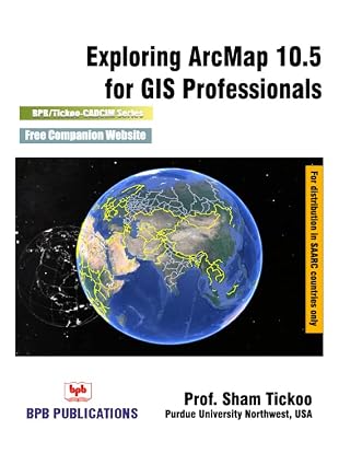
The textbook explains the concepts and principles of GIS through practical examples, tutorials, and exercises. The book enables the users to harness the power of GIS with ArcMap for their specific use. In this textbook, the author explains in detail the vector data, raster data, and real-world data. In addition, in this textbook, you will learn tools and concepts for creating shapefile, contour, and elevation data. This textbook consists of 7 chapters covering Shapefile Creations, DEM Analysis, Raster Modeling, Vector Modeling, and so on. As you go through this textbook, you will work on tutorials and exercises that can be used to create a complete project. Each concept in this textbook is explained using the detailed description and relevant graphical examples and illustrations. The accompanying tutorials and exercises, which relate to the real world projects, help you understand the usage and abilities of the tools available in ArcMap.
What you will learn
● Creating Shapefiles.
● Downloading DEM data.
● Working with Raster data.
● Working with Vector data.
● Correcting the errors in shapefiles.
● Various GIS Analysis.
Who this book is for
GIS Engineer, GIS Professionals, GIS Students
Table of Contents
1. Introduction to GIS and ArcMap 10.5
2. Setting Coordinate System and Creating Georeferencing
3. Working with Vector and Raster Data Model
4. Working with Data Input
5. Working with Topology and Editing Spatial Data
6. Analyzing Vector and Raster Data
7. Generating Terrain Maps and Performing Analysis









Prof. Sham Tickoo
BPB Publications